Map of Florida, 1780
Dublin Core
Title
Map of Florida, 1780
Alternative Title
Map of Florida
Subject
Florida (Territory)
Description
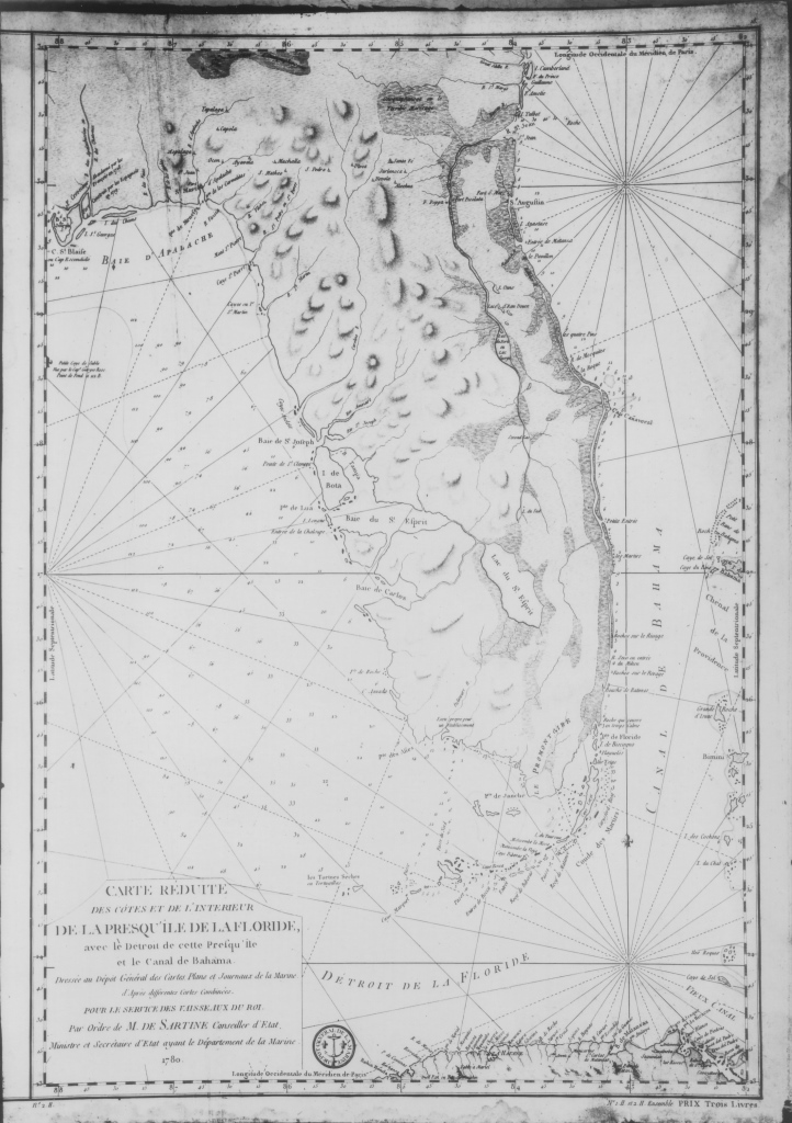
A map of Florida in French from 1780, when the territory was under British rule. In 1763, Spain traded Florida in exchange for Havana, Cuba, which had been captured by the British during the Seven Years' War. Many Spanish settlers and indigenous people left Florida for Cuba. The British divided the territory into East Florida and West Florida, which consisted of most of the Florida Panhandle and parts of present-day Louisiana, Mississippi, and Alabama. During this period, a large number of British settlers migrated to Florida, particularly present-day Duval County, Baker County, St. Johns County, and Nassau County. One key settler was a Scotchman named Dr. Andrew Turnbull (1718–1792), who established a settlement at New Smyrna. During the American Revolution, the majority of Floridians expressed loyalty to the British Crown and the colony declined to send delegates to the Continental Congress. When the Treaty of Paris was signed in 1783, the Florida territory was returned to Spanish control.
Source
Original map, 1780: Leonard Pugh Collection.
Date Created
1780
Date Copyrighted
1780
Contributor
Is Format Of
Digital reproduction of original map, 1780.
Is Part Of
General Collection, RICHES of Central Florida.
Format
image/jpg
Extent
333 KB
Medium
1 map
Language
eng
spa
fre
Type
Still Image
Coverage
Florida
Accrual Method
Donation
Mediator
History Teacher
Civics/Government Teacher
Rights Holder
Copyright to this resource is held by Leonard Pugh and is provided here by RICHES of Central Florida for educational purposes only.
Contributing Project
Curator
Michlowitz, Robert
Cepero, Laura
Digital Collection
External Reference
Tebeau, Charlton W. A History of Florida. Coral Gables, Fla: University of Miami Press, 1971.
"Florida: As a British Colony." Florida Center for Instructional Technology, University of South Florida. http://fcit.usf.edu/Florida/docs/f/florbrit.htm.
Still Image Item Type Metadata
Original Format
1 map
Collection
Citation
“Map of Florida, 1780,” RICHES, accessed July 21, 2026, https://richesmi.cah.ucf.edu/omeka/items/show/6117.